 |
|
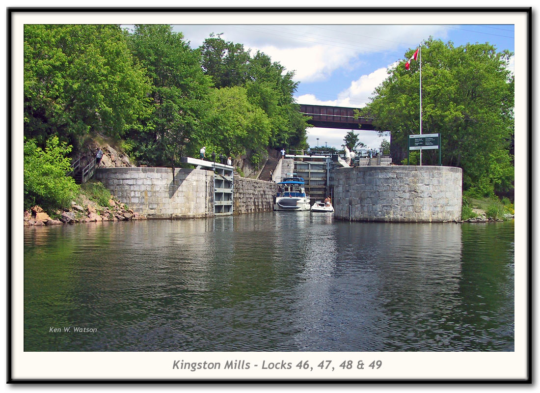
| Kingston Mills - Locks 46-49 photo by: Ken W. Watson |
| Four locks (3 in flight, one detached) provide 45 feet (13.7m) of lift. The railway crossing here was originally a wooden truss bridge erected in 1853. The current iron bridge dates to 1929.
This is the site of Cataraqui Falls, the most southern set of waterfalls and rapids on the Rideau Canal. When the town of Kingston was being founded in 1783, surveyors looked for a source of water power. They found these at Cataraqui Falls and in 1784 the British government built a grist mill and a sawmill which became known as the King's Mills. In 1826, when the Rideau Canal was just being started, only a privately owned sawmill (the third one since the original was built in 1784) was present. Prior to the mills being put in place, the Cataraqui River meandered through forest and lowlands. The first mill dam flooded the Cataraqui River up to about present day Caseys Island in today's Colonel By Lake. The larger canal dam at Kingston Mills flooded all the way up to Lower Brewers, creating Colonel By Lake and River Styx. Prior to flooding, Colonel By had a navigation channel cut out of the forest. Although many of the flooded trees have rotted, many still remain in the upper reaches of Colonel By Lake and in River Styx, making it an adventure if you stay out of the navigation channel. For a full history of the Kingston Mills Lock see: History of the Kingston Mills Lock |
| Press your BACK button to return to the originating page or ... |