 |
|
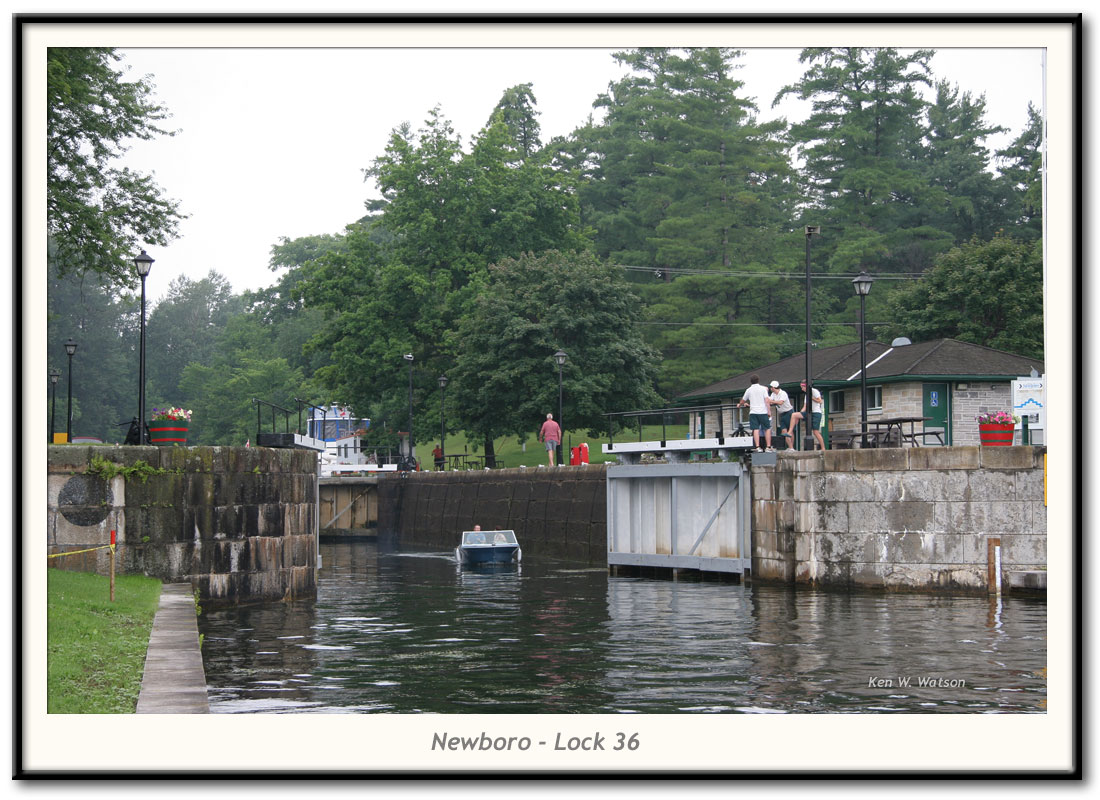
| Newboro - Lock 36 photo by: Ken W. Watson |
| A single lock provides 8.9 feet (2.7 m) of lift. One of only four blockhouses built on the Rideau Canal is located here. This lock and canal cut to Upper Rideau Lake marks the watershed divide between the Rideau River watershed and the Cataraqui/Gananoque watershed. Water from Upper Rideau Lake flows to the Rideau River (and then to the Ottawa River). Water from Newboro Lake originally flowed to the Gananoque River but today, due to canal dams, it mostly flows to the Cataraqui River. In the photo you'll notice flower pots painted bright green and red. These mark the "hand" of navigation which changes at Newboro, which in navigation terms is the "home port" of the Rideau Canal. "Red Right Returning" is an easy way to remember, red navigation buoys will be on your right hand side as you return to (face) the home port. So, if you are travelling north from Kingston (heading towards Newboro), red buoys will be on your right, but once you pass Newboro and head into Upper Rideau Lake, red buoys will be on your left side (since you are heading away from the home port). The lock staff have painted their flower pots accordingly. Newboro is one of two locks that was converted to electric/hydraulic operation in the 1960s (the other is Black Rapids). In the original plans, there wasn't supposed to a lock here. Instead there were to be two locks at Chaffeys with a simple canal cut connecting a dam raised Newboro Lake with Rideau Lake (then one large lake). But hard bedrock and disease (malaria) force Colonel By to come up with a new solution which in the end was a lock at Newboro and a lock at Narrows. For a full history of the Newboro Lock see: History of the Newboro Lock |
| Press your BACK button to return to the originating page or ... |